
Rae Lakes Loop
From Road’s End Through Kings Canyon National Park
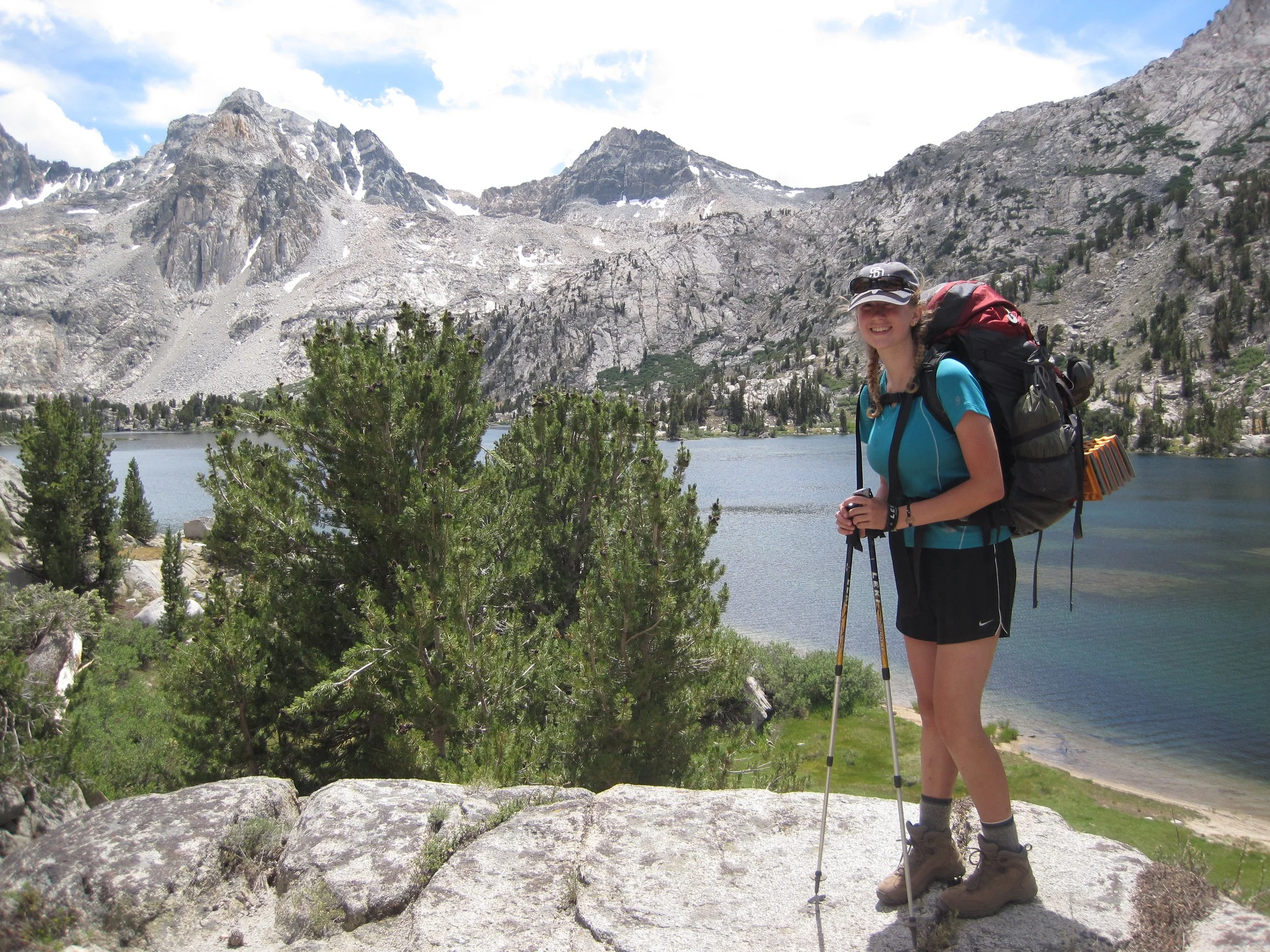
Rae Lakes Loop in Kings Canyon National Park is a world-class backpacking route that draws hundreds of hikers each year. Thanks to a robust quota system and layover restrictions, the trail maintains a sense of solitude despite its popularity. This moderate trip is ideal for backpackers comfortable hiking 6–8 miles per day.
Starting Trailhead: Woods Creek and Bubbs Creek
Ending Trailhead: Woods Creek and Bubbs Creek
Submitted by
GSSD Backpacking Trainers
Created
January 2020
Duration: 5 nights
Distance: 40 miles
Best Time: July–Sept.
Day 1
Drive to the Road’s End Permit Station in Cedar Grove to pick-up your wilderness permit.
Backtrack to Cedar Grove Village and set-up camp at one of the village campsites.
Day 2
Drive back to Road’s End and locate the Woods Creek and Bubbs Creek Trailhead. (Several trails start at Road’s End. Make sure you choose the correct trailhead.)
Head east on Woods Creek Trail to Middle Paradise Valley campsite. (7.25 miles)
Day 3
Head north on Woods Creek Trail to the John Muir Trail junction. (7 miles)
Turn right and head east on the John Muir Trail for about 500 feet, crossing Woods Creek. Set up camp at the site just beyond the crossing.
Day 4
Continue south on the John Muir Trail to Middle Rae Lake. (6.25 miles)
Day 5
Continue south on the John Muir Trail to one of the following campsite options:
Charlotte Lake (5 miles + 1.5 miles west on Charlotte Lake Trail)
Bubbs Creek (5.5 miles)
Junction Meadow (6.75 miles + 2.25 miles west on Bubbs Creek Trail)
Day 6
From Bubbs Creek campsite, continue south on the John Muir Trail to the Bubbs Creek Trail junction. (1.25 miles)
Turn left and head west on Bubbs Creek Trail to the junction where Bubbs Creek and Woods Creek trails merge. (10.5 miles)
Turn left and head west back to the trailhead. (1.75 miles)
Head to Cedar Grove Village for showers and drive home.
Itinerary Options
From Middle Rae Lake, add an extra day to explore Sixty Lakes Basin.
If you camp at Charlotte Lake or Bubbs Creek on day 5, consider adding an extra night at Sphinx Creek to reduce the day 6 mileage by 4 miles. Note that camping at Charlotte Lake adds 1.5 miles to day 6 via the Charlotte Lake Trail. After crossing Glen Pass on day 5, the trail descends until you reach the trailhead, but the mileage can still be significant — plan carefully and adjust your itinerary according to your group’s capabilities.
Key Risks
Critters: You’re in bear country. There are strict rules on storing scented items including the need for bear-proof containers. Know before you go and follow all instructions.
Altitude: Monitor participants for any adverse reactions.
Weather: Paradise Valley can be very hot in the summer.
Water Crossings: The bridge across the South Fork of the Kings River in Upper Paradise Valley washed out in the winter of 2016–2017. A replacement bridge has not yet been constructed. Depending on the season, snowfall, and current conditions, crossing may be unsafe. Use your best judgment and be prepared to turn back if necessary.
Permits Needed
Sequoia and Kings Canyon National Parks Wilderness Permit
Logistics
Sequoia and Kings Canyon National Parks have Minimum Impact Restrictions that all wilderness permit holders must follow, including different limits on the number of nights and group size allowed at certain campsites. Be sure to review these regulations against your itinerary and group size to ensure compliance.
Please note that while all campsites along this itinerary are equipped with bear lockers, they are reserved for Pacific Crest and John Muir Trail thru-hikers.
Resources
Tom Harrison’s Kings Canyon High Country Map
Sequoia and Kings Canyon National Parks: Rae Lakes Loop
Sequoia and Kings Canyon National Parks: Woods Creek, Bubbs Creek, Rae Lakes Loop Trailhead
Sequoia and Kings Canyon National Parks: Road’s End
Sequoia and Kings Canyon National Parks: Overnight Backpacking
Sequoia and Kings Canyon National Parks: Trail Conditions
Sequoia and Kings Canyon National Parks: Wilderness Permits and Reservations